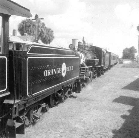
Orange Belt Trail
Pasco County is studying potential alignments to build a multi-purpose trail from Trinity to Trilby.
About the project
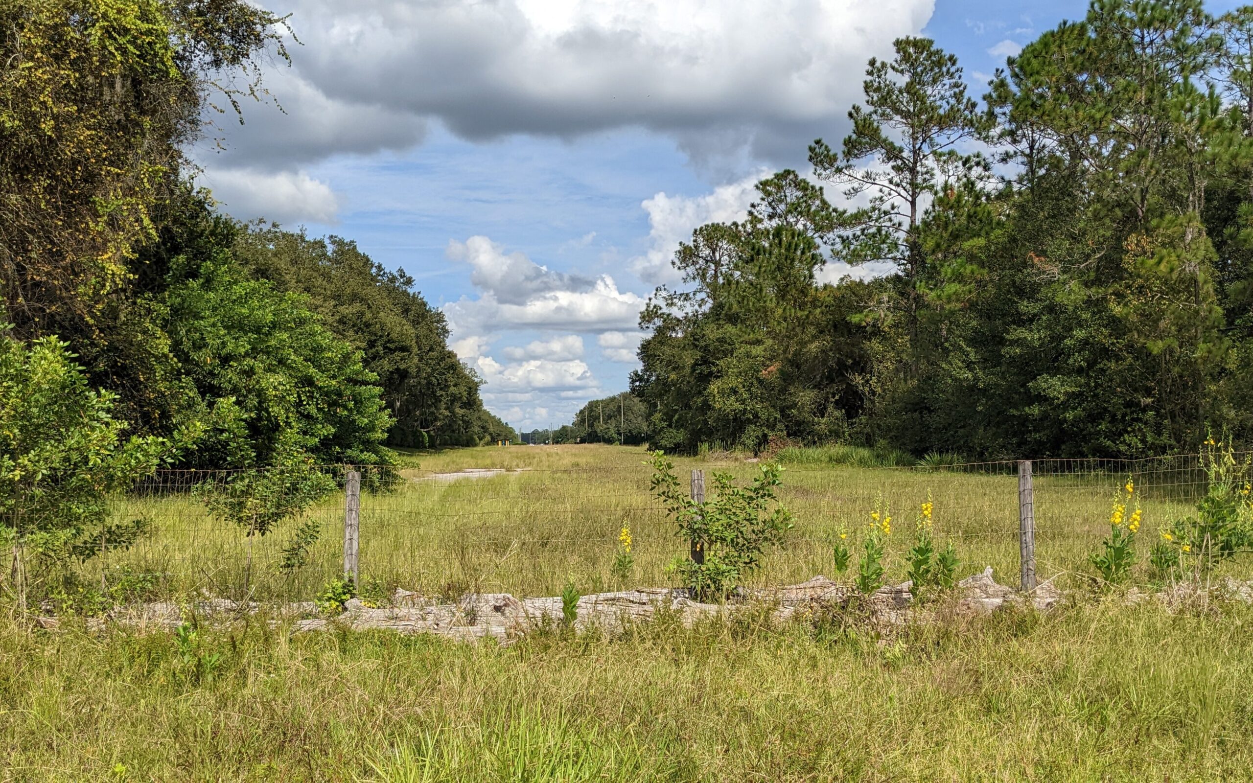
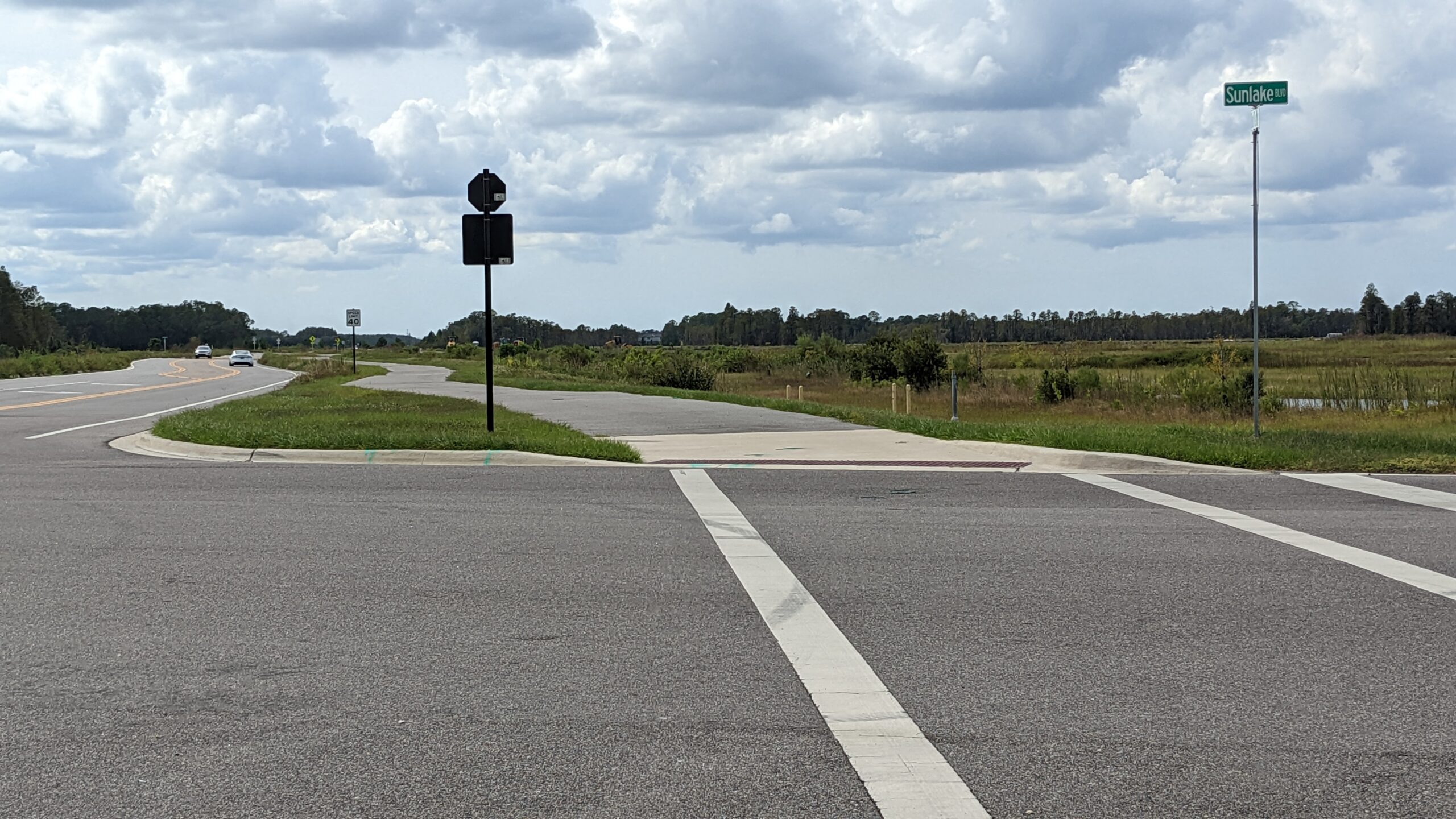
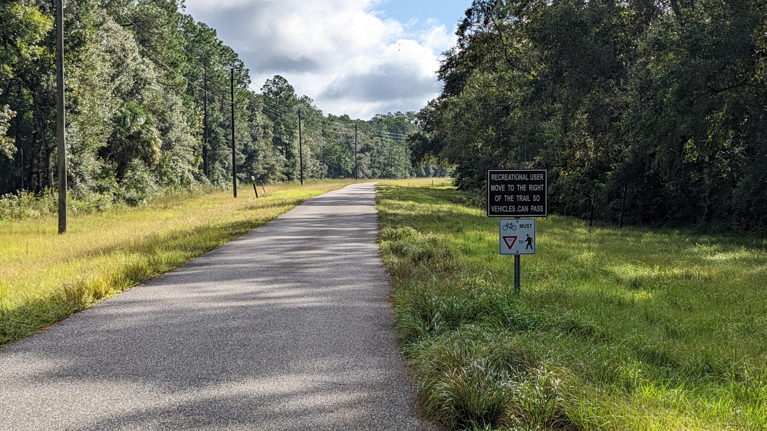
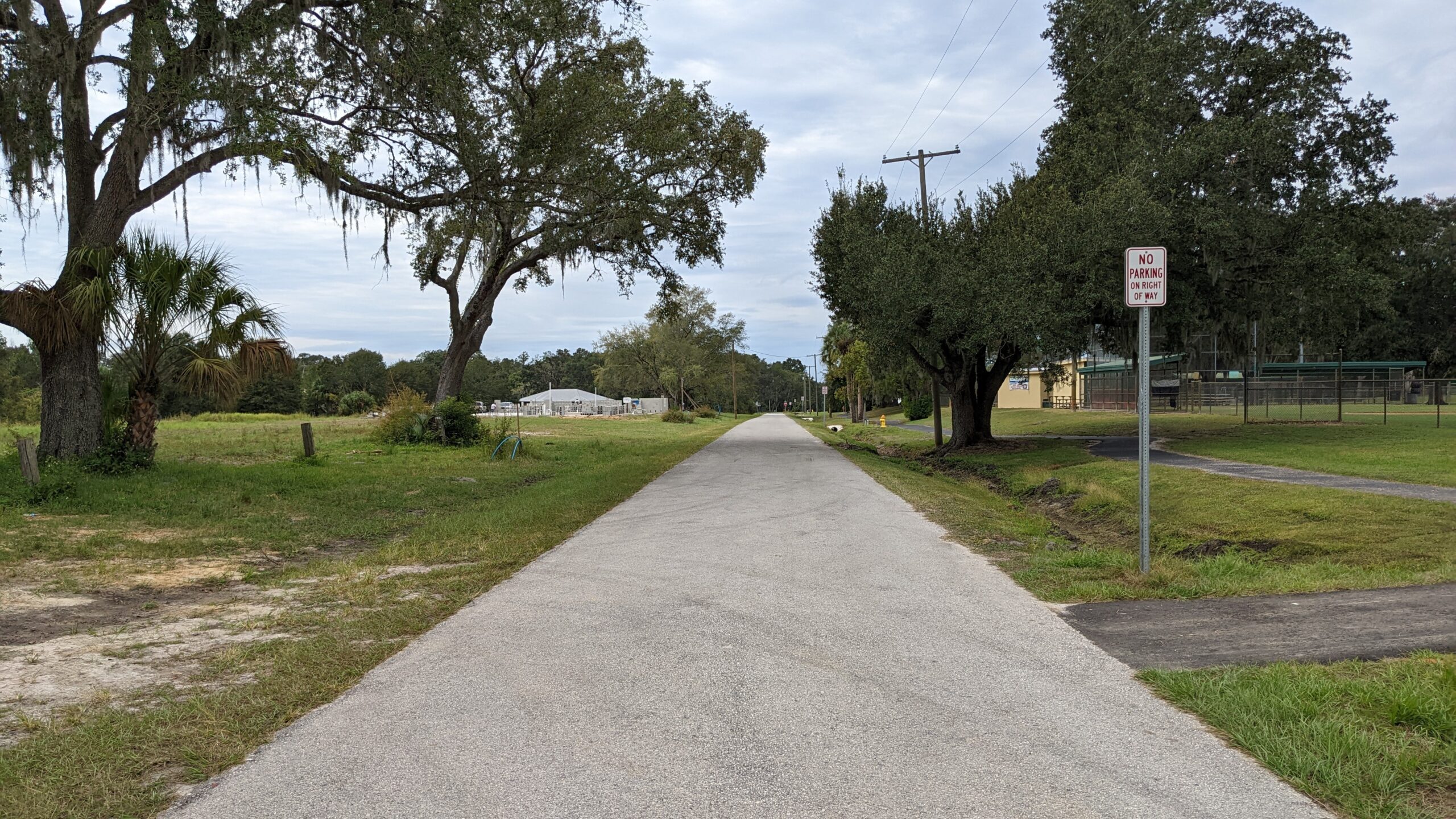
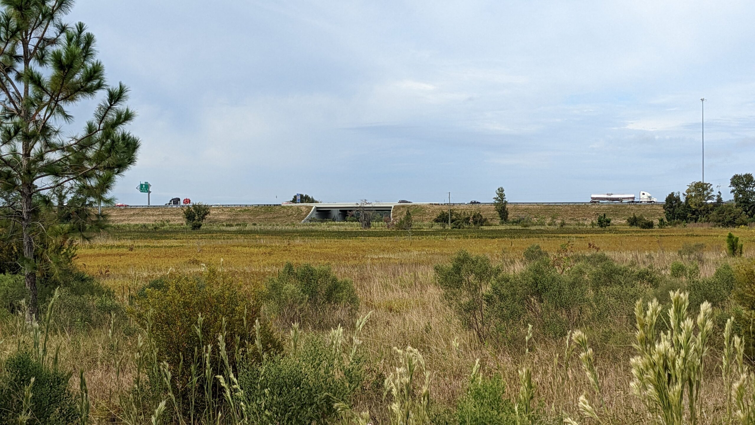
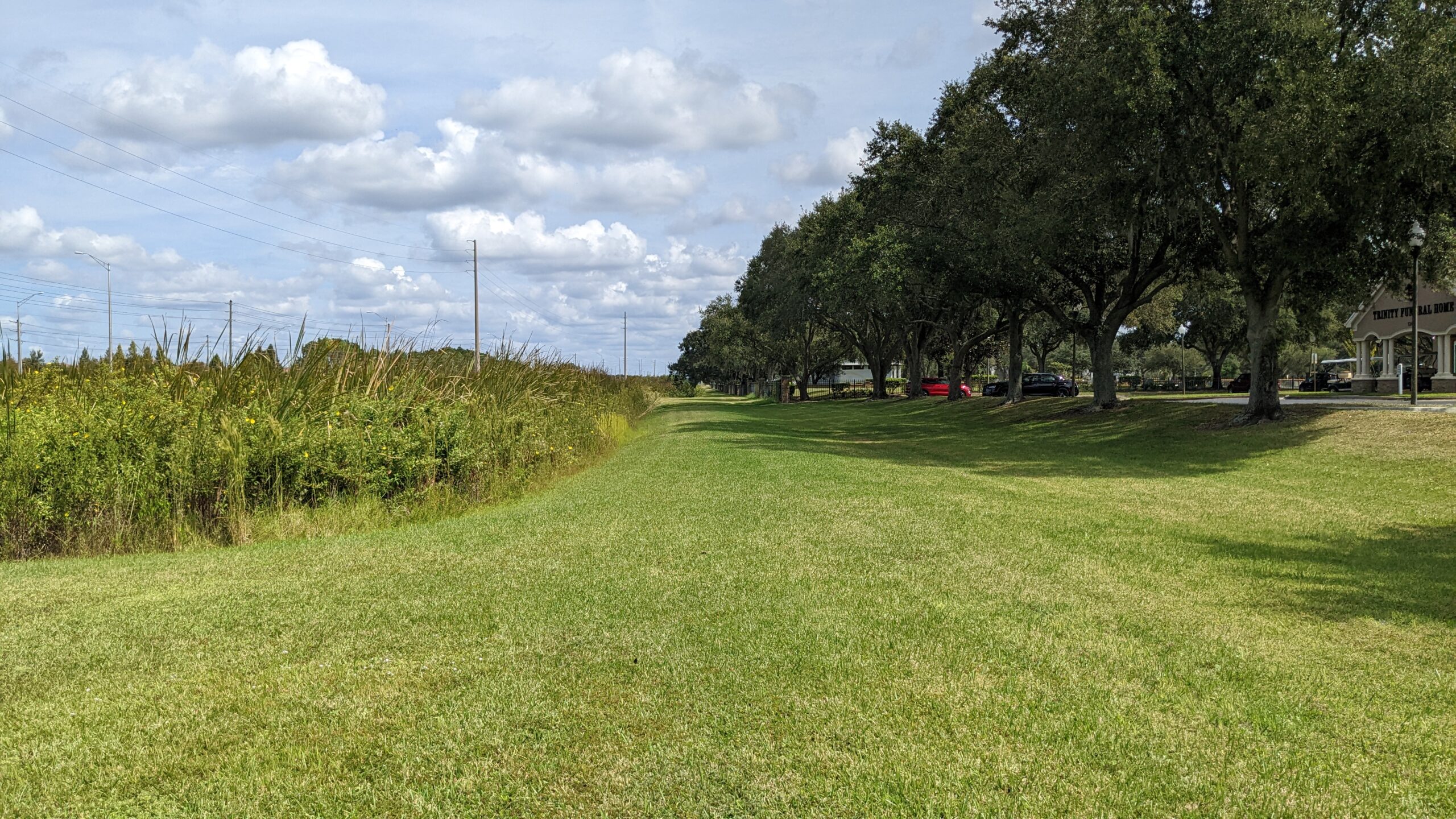
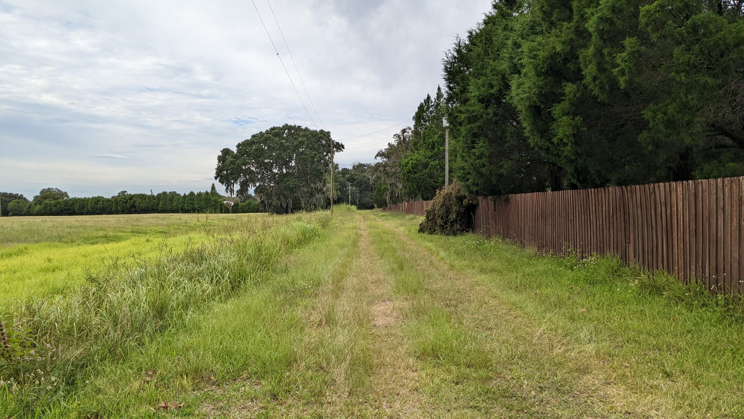
Pasco County is conducting a Project Development & Environment (PD&E) Study and Trail Segmentation Plan for the Orange Belt Trail (OBT). The OBT is a proposed regional multiuse trail through Pasco County. The OBT will provide regional connectivity and enhance the existing and planned regional trail network by providing key connections to the Coast-to-Coast Trail, Starkey Trail, Suncoast Trail, and Withlacoochee Trail. In addition, the OBT will link communities such as Trinity, Odessa, Land O’Lakes, Wesley Chapel, and Dade City to help fuel economic transformation along the trail corridor. The trail is proposed to be a 12- to 14-foot-wide paved multi-use trail that will generally follow the path of the Orange Belt Railway. The OBT is envisioned to be off the roadway, where feasible, and follow natural features to the greatest extent possible. It will be open to pedestrian and bicycle traffic, and may even include equestrian accommodations in certain areas.
News
Work continues on the Orange Belt Trail in Pasco County
It’s a planned multi-use trail that will connect with other trails from Trinity to Trilby.
It’s named for the old Orange Belt Railroad, which ran from St. Petersburg through Pasco County in the 1800s…..
Spectrum News Video
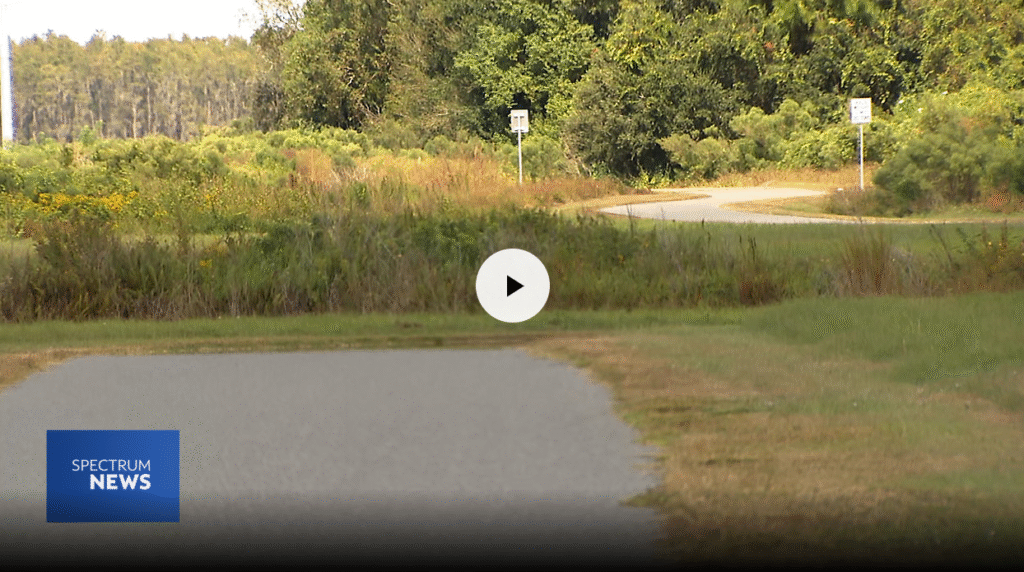
Click above to view the video
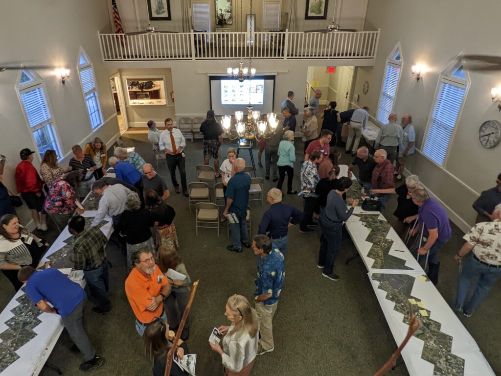
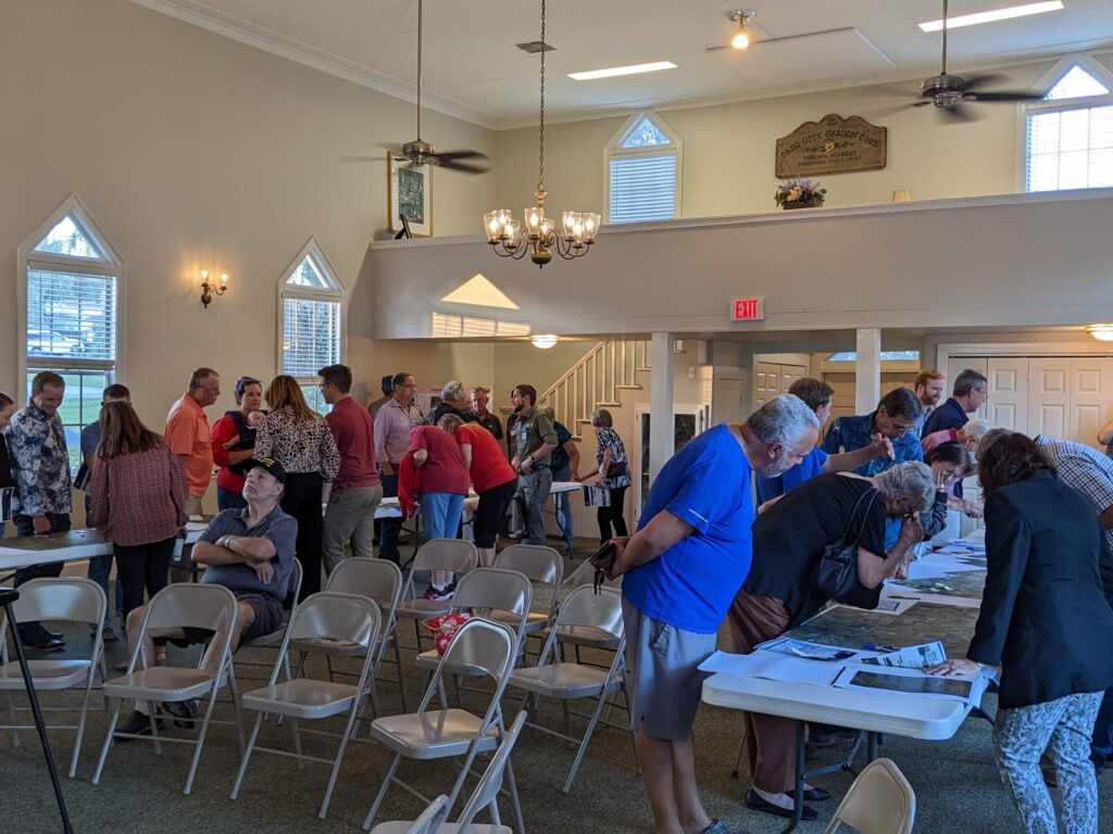
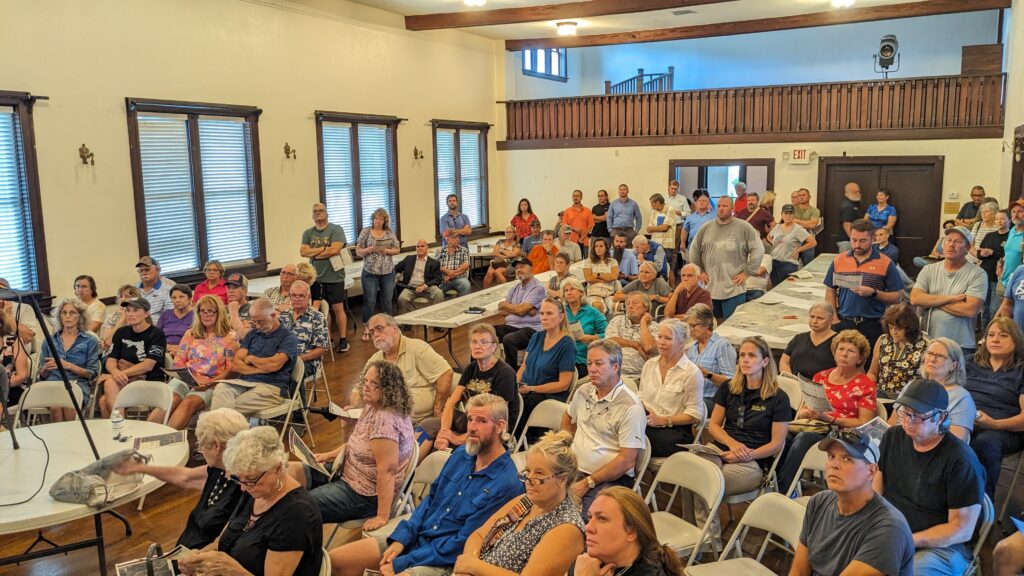
Orange Belt Trail Public Meeting
Pasco County Engineering Services hosted an open house-style public meeting to go over several additional alternatives for the Orange Belt Trail – a planned multi-use trail from Trinity to Trilby.
These new alternatives are being evaluated and compared with the previously identified alternatives. Information on all the alternatives was presented at this meeting and are available here.
Please review these materials and share your thoughts and preferences.
July 2025 Meeting Materials
May 2025 Update on Orange Belt Trail Project
Throughout the Orange Belt Trail Project Development & Environment (PD&E) Study, community input has been integral to the effort. Based on input received in 2023 and 2024, it became evident that the study team needed to re-evaluate and consider additional alternatives. These new alternatives are currently being evaluated and compared with the previously identified alternatives. Information on all the alternatives still being considered will be presented to the public in early summer 2025.
Stay tuned for more information on the alternatives, the upcoming public meeting, and a revised schedule for completion of the study.
Update on Orange Belt Trail Project September 25, 2024
The Orange Belt Trail Project Development & Environment (PD&E) Study, which was scheduled for completion in summer 2024, has been delayed in order to re-evaluate and consider additional alternatives. The new alternatives will be evaluated and compared with the previously identified alternatives. Information will then be presented to the public in order to obtain public comment and preferences, as was done during earlier phases of the study.
Once a revised schedule has been determined, this website will be updated, and the information will be shared with identified stakeholders in the project.
Thank you for your patience.
Potential impacts of Orange Belt Trail evaluated, along with public input and potential costs. Evaluation scores and results are as follows:
The evaluation scores reflect diverse criteria, including cultural resources, potential effects to natural resources, social considerations, potential implementation costs, and input from the public and stakeholders. Lower scores represent higher ranked alternatives (similar to golf) with the lowest possible score being 24 and the highest possible score being 72. Some measures, like Access to Schools, are positively scored (i.e., high score = 1). Other measures, like Potential Impacts to Wetlands, are negatively scored (i.e., high score = 3).
A breakdown of the six summary categories are:
- Cultural Resources – 3 criteria with scoring range of 3 to 9
- Physical and Natural Resources – 4 criteria with scoring range of 4 to 12
- Socioeconomic Considerations – 2 criteria with scoring range of 2 to 6
- Qualitative Measures – 6 criteria with scoring range of 6 to 18
- Implementation Cost – 1 criterion with scoring range of 3 to 9
- Community and Stakeholder Input – 2 criteria with scoring range of 6 to 18
It is important to note that potential costs, community support, and stakeholder input were weighted higher than the other criteria. Overall, technical evaluation criteria represent 75% of the total score, with community and stakeholder input comprising 25%.


Following completion of the alternatives evaluation, Pasco County and the project team have decided to move forward with detailed analyses of Alternatives A, B1, C1, and C3. These have been combined into the recommended alternative alignment shown on the map below, with newly defined segments. Note that more detailed analyses for segments of the Orange Belt Trail west of US 41 are being conducted as part of other studies.
August 2023 Meeting Materials
Recommended Alternative

Public Workshops
One of the county’s goals for this project is to include Pasco County residents and potential trail users in the design of this trail from the beginning of the study. To promote community engagement, the county held public workshops in December, April, and August to hear from residents directly. The workshops were in an open house format and informal. However, there was a short presentation about the project during each workshop. For those who couldn’t attend, the presentation and display materials are posted below:
- Ranking Preference Flyer
- Power Point Presentation
- OBT Display Map 1
- OBT Display Map 2
- OBT Display Map 3
- OBT Display Map 4
- OBT Display Map 5
- OBT Display Map 6
- OBT Display Map 7
- OBT Display Map 8
April 2023 Workshop Materials
- Power Point Presentation
- OBT Crossing Improvements
- OBT Typologies Board
- OBT Potential Trailheads Board
December 2022 Workshop Materials
Paid for by Penny for Pasco